The Current State of Everest Base Camp and Viewing Guide
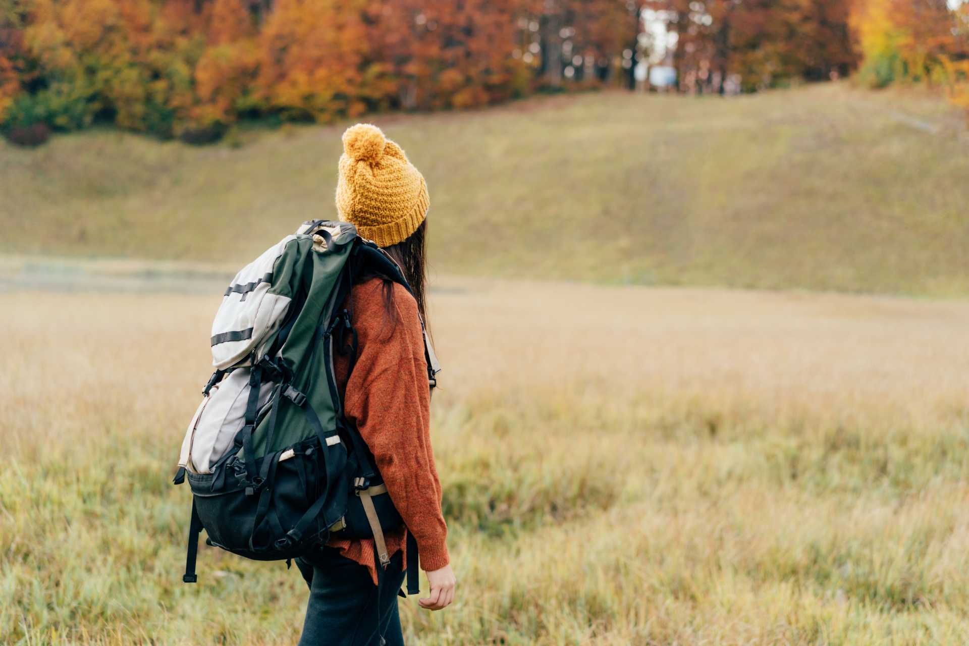
Following the earthquake in Shigatse on January 7, 2025, the Everest Scenic Area remains temporarily closed. Yet, for those longing to witness the majesty of Mount Everest, there is no need for disappointment. Although entry to the Everest Base Camp is currently restricted, alternative viewpoints still offer breathtaking vistas of the mountain.
Policy Updates and Clarification of Misconceptions
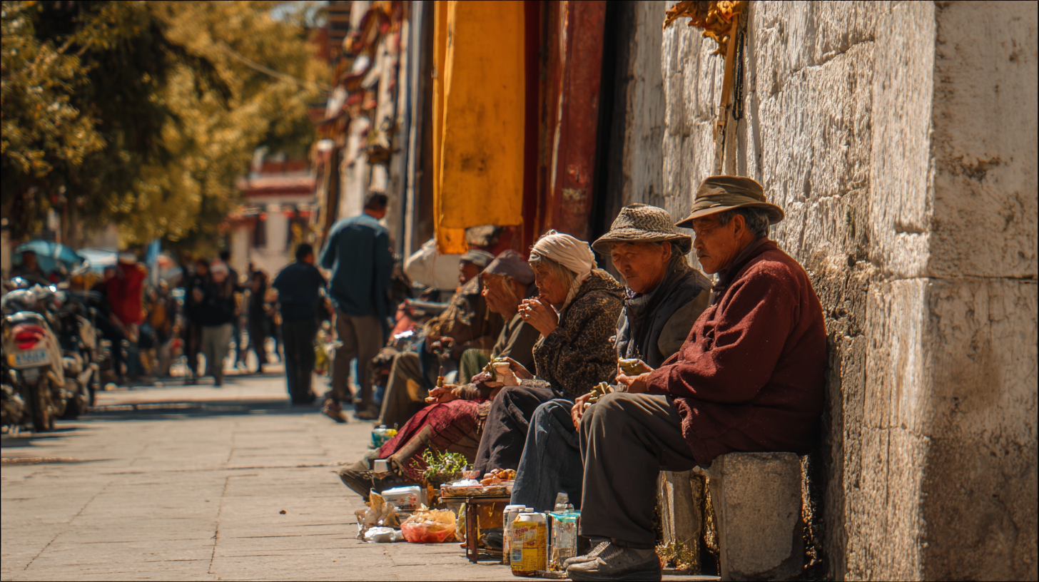
According to the authorities in the Tibet Autonomous Region, the Qomolangma National Nature Reserve continues to be conditionally open. Mountaineering activities that comply with regulations are still permitted, and rumors circulating online about the permanent closure of the Everest Scenic Area are unfounded. Straddling the border between China and Nepal, Mount Everest has fascinated climbers and trekkers from around the world since Edmund Hillary of New Zealand and Tenzing Norgay, the famed Sherpa mountaineer, first reached its summit in 1953.
Adjustments to the Tourist Base Camp and the Viewing Experience
The Everest Reserve covers a vast expanse of 33,800 square kilometers, spanning the counties of Dingri, Nyalam, Gyirong, and Tingjie in Shigatse, Tibet. Within its boundaries, five peaks soar above 8,000 meters. Each year, from April to October, locals from Zhaxizong Township in Dingri County set up traditional black tents at the foot of Everest, establishing a seasonal base camp that provides accommodation and meals for visitors.
In December 2018, the Dingri County Everest Management Bureau announced that access to the core area above Rongbuk Monastery would be prohibited for all individuals and organizations. Since 2019, the tourist base camp has been relocated near Rongbuk Monastery, which is designated as an experimental zone. Here, scientific research, educational activities, and tourism are permitted. From this new vantage point, visitors can still enjoy an unobstructed view of Everest’s summit and dramatic slopes, ensuring that the experience of witnessing the world’s highest peak remains undiminished.
Frequently Asked Questions
Why is entry to Everest Base Camp restricted?
In recent years, the surge in climbers and tourists has led to a significant increase in waste and environmental pressure. To preserve the fragile ecosystem, the core zone—including the original base camp—has been closed to visitors for an indefinite period.
Can visitors still see Mount Everest?
While direct access to the base camp is no longer possible, travelers may stay overnight at Rongbuk Monastery or nearby guesthouses, which are about six kilometers from the original base camp. From here, Everest remains visible in all its grandeur, and on clear nights, the starry sky adds to the magic, so travel plans are largely unaffected.
Is it still possible to take photos with the Everest Monument?
To accommodate visitors’ desire for commemorative photos, the management plans to install replicas of the Everest Monument and Survey Marker near Rongbuk Monastery, making it convenient for tourists to capture memorable moments.
What does the annual limit of 300 climbers mean?
This restriction applies solely to officially sanctioned mountaineering expeditions, not to regular tour groups visiting Tibet.
While the core area of Everest Base Camp remains closed to tourists, Rongbuk Monastery and its surroundings continue to offer some of the best opportunities to appreciate the grandeur of Mount Everest. Visitors are encouraged to plan their journeys in accordance with the latest policies, ensuring a safe and environmentally responsible experience of this iconic landscape.
Private Vehicle or Tour Bus (8 Days / 697 km): The Easiest and Most Popular Option

The most commonly chosen route among travelers follows National Highway 318, also known as the Friendship Highway. Road conditions are reliable, infrastructure is well-established, and the scenery is nothing short of spectacular.
Recommended 8-Day Itinerary:
| Day | Route | Distance | Highlights |
|---|---|---|---|
| 1 | Arrive in Lhasa | — | Begin acclimatizing to high altitude |
| 2 | Explore Lhasa | — | Potala Palace, Jokhang Temple, Barkhor Street |
| 3 | Lhasa → Yamdrok Lake → Gyantse → Shigatse | 358 km | Sacred lake, Karola Glacier, Palcho Monastery |
| 4 | Shigatse → Tingri → EBC | 343 km | Panoramic views of five Himalayan peaks from Gyatso La |
| 5 | Sunrise at EBC → Shigatse | 343 km | Rongbuk Monastery, rest in Shigatse |
| 6 | Shigatse → Lhasa | 275 km | Recovery and scenic drive |
| 7 | Free day in Lhasa | — | Shopping and flexible plans |
| 8 | Departure | — | Trip conclusion |
Note: Though the round trip is technically possible in two days, extending it to eight allows for altitude adaptation and deeper scenic enjoyment.
Trekking (4 Days / 70 km): The Classic Himalayan Experience
Starting from Tingri, this trekking route leads you through open meadows and pasturelands toward Everest’s north face. It’s the most spiritually and physically immersive way to approach the base camp.
Trekking Itinerary (Starting from Tingri):
| Day | Route | Distance | Highlights |
|---|---|---|---|
| 1 | Tingri → Lungthang | 12 km | Plains, nomadic regions, Choelun Monastery |
| 2 | Lungthang → Lamna La | 21 km | Crossing 5,150 m pass, camping in valley |
| 3 | Lamna La → Zommug | 22 km | Deep valley trekking, stunning sunset views |
| 4 | Zommug → Rongbuk → EBC | 15 km | Arrival at the world’s highest monastery and base camp platform |
Note: Requires solid physical condition and wilderness experience. Ideal seasons are April–May and September–October.
Cycling (9 Days / 734 km): The Ultimate Endurance Challenge
Nearly 800 kilometers across multiple mountain passes above 5,000 meters—this journey is a test of stamina, willpower, and cycling prowess.
Daily Cycling Plan:
| Day | Route | Distance | Highlights |
|---|---|---|---|
| 1 | Lhasa → Qushui → Qiangbala Village | 85 km | Ride along Brahmaputra River |
| 2 | Qiangbala → Yamdrok Village | 80 km | High-altitude lakeside route |
| 3 | Yamdrok → Glacier → Gyantse | 100 km | Glacier views and rugged terrain |
| 4 | Gyantse → Shigatse | 95 km | Explore historic Tibetan towns |
| 5 | Shigatse → Phuntsoling Monastery | 105 km | Religious and cultural exploration |
| 6 | Phuntsoling → Lhatse | 70 km | Begin entering remote highlands |
| 7 | Lhatse → Gyatso La → Peba | 84 km | Mountain pass challenge |
| 8 | Peba → Tashizong | 65 km | Quiet rural landscapes |
| 9 | Tashizong → Bansong → EBC | 50 km | Final ascent to base camp |

Note: Guides are mandatory; solo cyclists are not permitted. Group rides are encouraged to share costs.
Motorbike Touring (Main Route: 3 Days): Fast and Free, with Risks

Motorcycling offers speed and freedom, a favorite for thrill-seekers. However, it requires excellent riding skills and preparation for altitude challenges.
Suggested 3-Day Route:
| Day | Route | Distance | Highlights |
|---|---|---|---|
| 1 | Lhasa → Yamdrok Lake → Gyantse | 263 km | Sensory blend of lakes and glaciers |
| 2 | Gyantse → Shigatse | 94 km | Center of Tibetan Buddhism |
| 3 | Shigatse → Tingri → EBC | 340 km | Gyatso La pass and Everest viewing platform |
Note: Full trip, including return and acclimatization, should span about 9 days. It can extend to the Gyirong border for further travel to Kathmandu.
Self-Driving (10 Days / 745 km): Ultimate Flexibility
For travelers with a Chinese temporary driver’s license and the proper travel permits, self-driving offers unmatched control—perfect for photographers and explorers.
Recommended Self-Drive Itinerary:
| Day | Route | Distance | Highlights |
|---|---|---|---|
| 1 | Arrive in Lhasa | — | Permit pickup and route briefing |
| 2 | Lhasa → Yamdrok | 120 km | Scenic lakeside driving experience |
| 3 | Yamdrok → Gyantse → Shigatse | 270 km | Glacier and cultural site visits |
| 4 | Shigatse → Tingri | 240 km | Entering Everest Protected Zone |
| 5 | Tingri → EBC | 120 km | Prime photography zone |
| 6 | Everest → Sakya | 150 km | Explore Buddhist heritage sites |
| 7 | Sakya → Shigatse | 160 km | Start return route |
| 8 | Shigatse → Lhasa | 275 km | Wind down and relax |
| 9 | Free day in Lhasa | — | Shopping, resupply, journaling |
| 10 | Departure | — | Journey ends |
Special Permits and Travel Notes
- Travelers from Taiwan, Hong Kong, Macau, and all foreign countries must arrange their Tibet Travel Permit and Frontier Pass through a licensed tour agency.
- Visitors are allowed to reach the tourist zone near Rongbuk Monastery only. The climbing base camp is off-limits.
- Altitude fluctuations are extreme. Segmental acclimatization is vital; rushed itineraries increase altitude sickness risk.
Summary Recommendations
| Traveler Type | Recommended Mode | Reasons |
|---|---|---|
| First-timers | Tour Bus | Stable, comfortable, well-structured itinerary |
| Adventure seekers | Trekking or Cycling | Fulfills physical challenge and deep experience |
| Time-constrained | Motorbike or Train + Car | Faster but still needs altitude caution |
| Photographers/Explorers | Self-Driving | High flexibility for stopovers and exploration |
Reference
- How to Get to Everest Base Camp from Lhasa – Recommended Overland Route
- Is Everest Base Camp Still Open after the 2025 Earthquake?
- Trekking to Everest Base Camp in Tibet – Group Route Overview
- Self-Driving Across Xinjiang–Tibet Highway: Lhasa to EBC
- Lhasa to Everest Base Camp via Train and Car – 3-Day Mini Group Itinerary